I. Introduction
Since the enactment of the Local Self-Governance Act (LSGA) in 1999 A.D, mandates of local bodies were broadly expanded; devolving the powers, responsibilities and resources required to allow local governments to meet the basic infrastructure needs of the locality.
The Constitution of Nepaland Local Governance Operation Act 2074 has established a federal structure with a strong local governments (LGs); vested with greater authority and jurisdiction. As a result, Nepal has embarked upon another chapter in their governance history.
Different studies in discourses of Local Governance in Nepal have beenconducted to improve the effectiveness of the local bodies. Many of whomare limited to the spectrum of analysis of Legislation, Constitutional Processes and Civil Society Demands.
A prominent factor in suitable and sustainable regional development is analysis of the spatial distribution of local governancepresence and people’s accessibility towards the services provided by the state actors.
Here we attempt to diagnosis the coverage, distribution of service centers within the geography of a local government. We consider Mahakali Municipality as a point of reference. We shall be attempting to compute, map and analyze the accessibility index of the various service centers within the Municipality.The data usedwere sourced via various sources(such as municipality profiles, various reports and publicationsetc.) at the time and the latest updated datasetscould yield slightlyimproved results.
Nevertheless, let us now dive in.
There are around 22 sector of Local Governance Jurisdictions as per theConstitution of Nepal. For the purpose ofgeneralization these sectors can be categorized into 12 jurisdiction category and among which SIX (6) Jurisdiction category are used as Indicators (sample population) for Governance reach computation.
These SIX Jurisdiction category (or Indicators) are point of contact of Local government with the Locals. These are the service delivery Centers of the Local government. The reach and accessibility (or simply- the effectiveness) of the local government can be measured via these indicators. The indicators are:-
1. Schools
2. Health Institutions
3. Financial Institutions
4. Small Business Institutions
5. Industries / Factories
6. Security
The ideological foundation of Local level is the distributive nature of service delivery mechanism i.e. “Service should surround people not people to the service.”
II. Methodology
We take into account the availability or distribution of the service delivery centers(points) along the geographic area and population distribution within wards of a Local Level. And then useGravity Based model to analyze and map the accessibility/reach of the local government jurisdiction.
In this approach, the number of service delivery points (such as number of schools, hospitals, financial institutions etc.), population and area of aWard of a Local Level (Local Government) results in gravity-based accessibility measure. The value of obtained accessibility index is a measure of local governance reach.
Higher the accessibility index values, better is the governance reach. The higher value of governance reach reflects a better coverage and access of service delivery via Local Government.Gravity based model approach help us to effectively compute and analyze the spatial distribution of services of our local governments drawing correlation with its effectiveness.
What is Gravity Model ?
The gravity-based method defines `accessible’ as a continuous measure. The gravity-based accessibility measure at location is :-
y
Here:-
- AiG is the gravity-based index of accessibility,
- Sj is the number of service centers at location j,
- dij is the travel time between population location i and service center location j,
- ß is the travel-friction coefficient,
- Vj is a measure of its population potential and
- P is the population unit.
A larger AiG value implies better accessibility or reach.
A generalized computation of governance reach / accessibility can be determined by treating travel-time impedance (d) as a dichotomous measure, that is, any travel time within a threshold is equally accessible and any travel time beyond the threshold is equally inaccessible.
If we take into account of all the service delivery points as the focal point of the local governance service delivery mechanism, we can compute and evaluate the reach of the local governance within the Municipality.
What can we learnfrom the accessibility index(AiG)?
- Spatial distribution of Local Governance Jurisdictions via the service centers.
- Accessibility index of various service delivery centers of local government.
- Local government jurisdiction reach among people residing in various wards.
- Existing disparity, if any,among the regions/wardsregarding the distribution and reach of public service delivery via local government service centers.
The Highest Local Governance Reach or Accessibility score is a situation whereacitizens enjoy highest level of interaction with the local government instruments whereas wards with low Governance reach score are the backward areas with low level of interaction between peopleandthe local government instruments and people having low level of accessibility of the services delivered via local government mechanisms.
III. Results
Accessibility scores of all of the six indicators (service centers) after computation yields:-

If we look at the individual indicators accordance to their accessibility scores, we obtain that the financial institutions (banks, cooperatives) are concentrated in the same geography which has the highest number of small business institutions and industries.
Distribution of educational institutions are not found to be influenced by the economic activity.As shown by schools accessibility score in wards/regions that are far from any business related activities influenced region.
Meanwhile, Health Institutions accessibility is more towards the economically active regions.Asa result Health care seems to be less accessible for students from educational institutionsin other regions.
Compiling the accessibility scores of individual indicators,the overall status of Governance Reach of Mahakali Municipality can be mapped as:-

Interpreting the results
Ward 5 with higher accessibility score has a better governance reach. People living in Ward 5 of the Mahakali Municipality has the best access and reach to the various services provided by the local government under its jurisdiction. The assessment projects Ward 5 as a viable option for center of the Municipality as numerous service delivery instruments under the local government jurisdictions are concentrated here.
On the other hand, Ward 4 with the highest population density in the region has the governance reach towards the lower end of the spectrum. It is because of high governance reach in ward 5. Ward 5 is the neighboring ward to ward 4 and ward 4 itself is geographically very small. This also reflects that people of ward 4 are more dependent on service delivery center of ward 5 and have to commute to ward 5 for the purpose.
Ward 8 and Ward 9 has almost same area and similar population.Yet, the governance reach in Ward 9 is higher than Ward 8. The reason for the difference is the geographical location of ward 8. Ward 8 is sandwiched between Ward 9 and Ward 7(as seen in the map above) both of which have relatively high governance reach scores; which implies that people residing in Ward 8 commute to the neighboring wards (Ward 7 and Ward 9) in order to receive the various services.
Similar is the scenario for the people ofWard 3,which is geographically sandwiched between two wards with higher reach of local government service reach.
IV. Conclusion
Mapping the jurisdiction’s spatial distribution and coverageprojectsthe prevailing scenario of local government service delivering status in a region. Itis also a tool in evaluating theeffectiveness of the public service delivery in the region and finding the disparity among regions. In addition, it helps toanalyze the factors behind the disparity in regards to access or reach towards the service provided by the local government.
The concentration of local governance instruments within a limited geography and degree of low accessibility is not an indicator of good governance. For a people friendly and effective local governance the accessibility and the reach of the local government service centers ought to be distributed through-out the local government geography.
So, it can be said that Gravity based modeling of governance can assists in finding solutions to the problem of existing disparity and making local government equally accessible to all.
Forinstance there is decision to be made: ‘Where to establish a new school or health post or any other service centers to better local government reach among the people?’The answer would be; In places where the people currently have low reach or accessibility towardsexisting service infrastructures.
Instead of decidingunder the influence of various vested interests whichgenerally lacks logical and scientific grounds, policy/decision makers should seek analysis like these to enhance the likelihood of a better solution.
We can elaborate on this general analysis to be more specific by including the precise time-travel value and travel friction coefficient values. This is crucial, as it help to better incorporate the area-topographical factors while computing governance reach/accessibility more precisely.i.e.geographical positional data along with the roads connectivity dimensionsof the individual service centers within the local government jurisdiction does provide the real-worldtravel-time impedance.
At last, it must be said that this is a relatively new approach in our context. The modelling may appear more of a generalist approach. Having said so, gravity based models and relevant analysis methodology as such does have a scope to incorporate numerous factors and their differentials to better project the governance status, reach and accessibility of any local government.
[P.S:- A Summarized version of a seminar-paper prepared and presented by the author(Er. AnupamPaudel) at C.D.G, T.U]

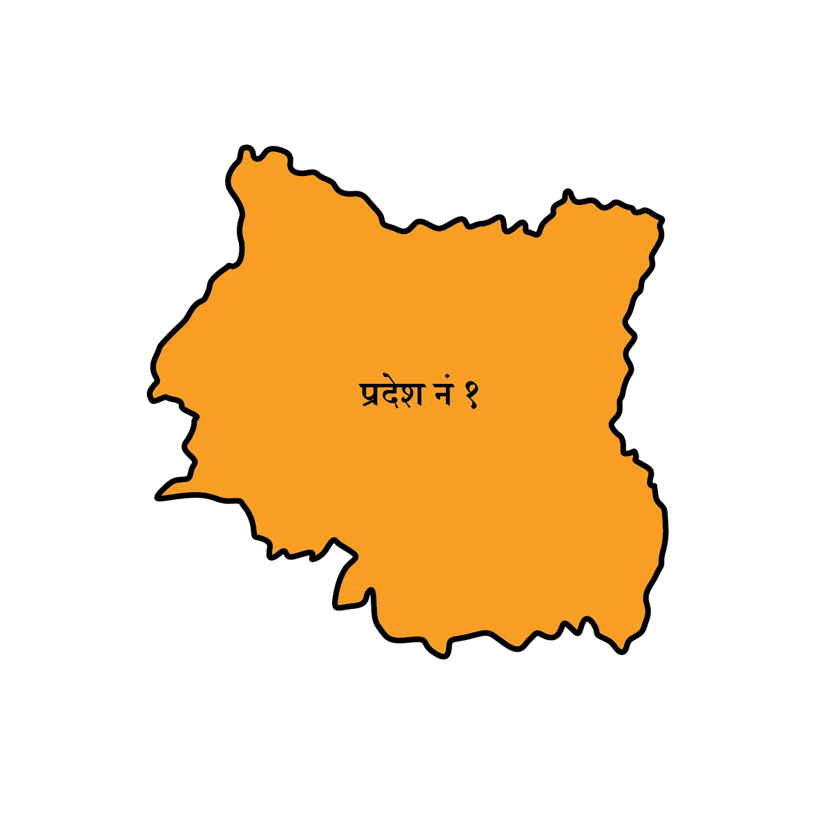 कोशी प्रदेश
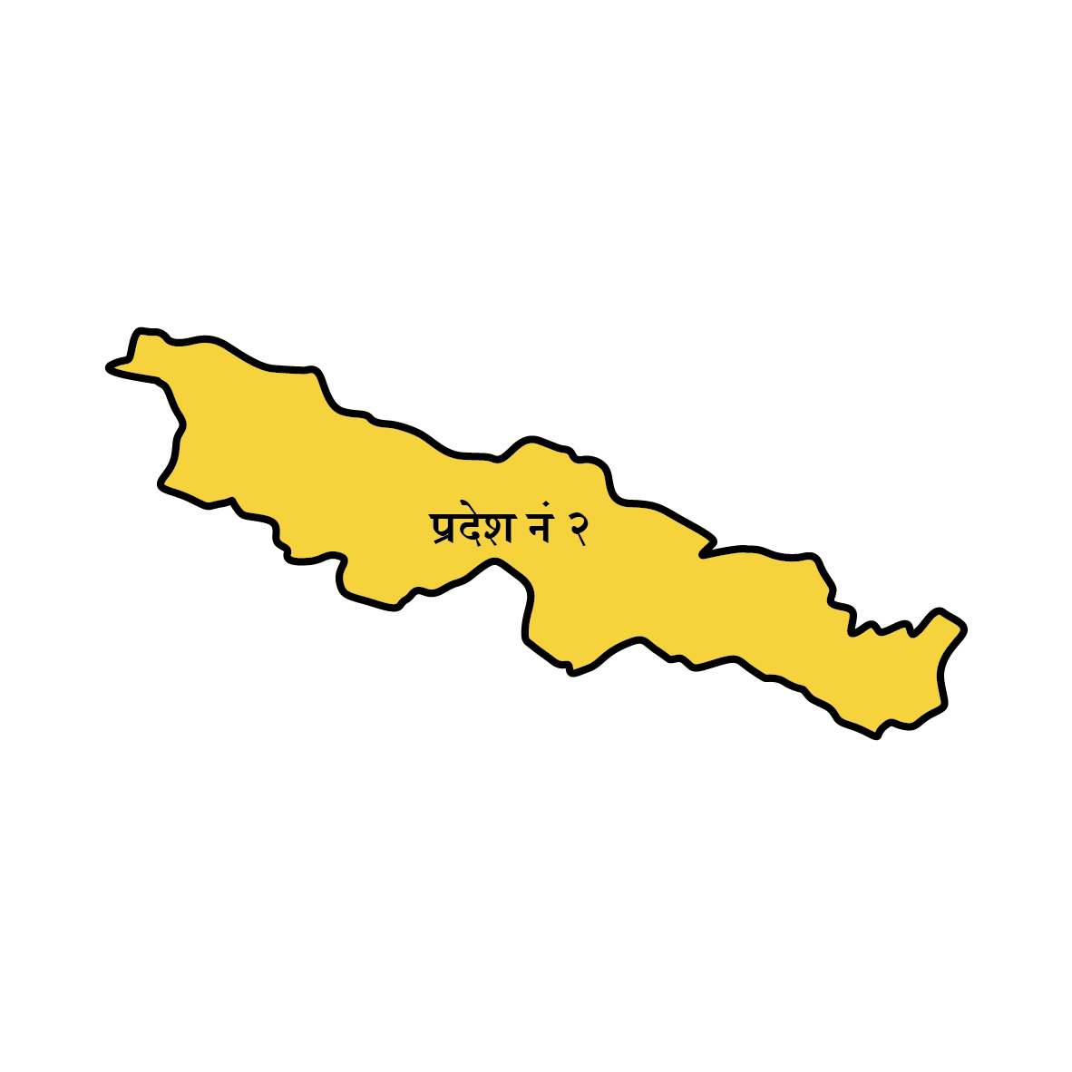 मधेश प्रदेश
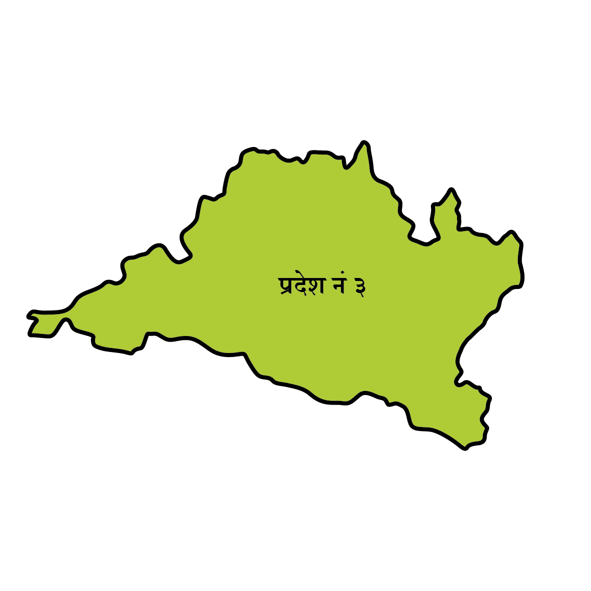 बागमती
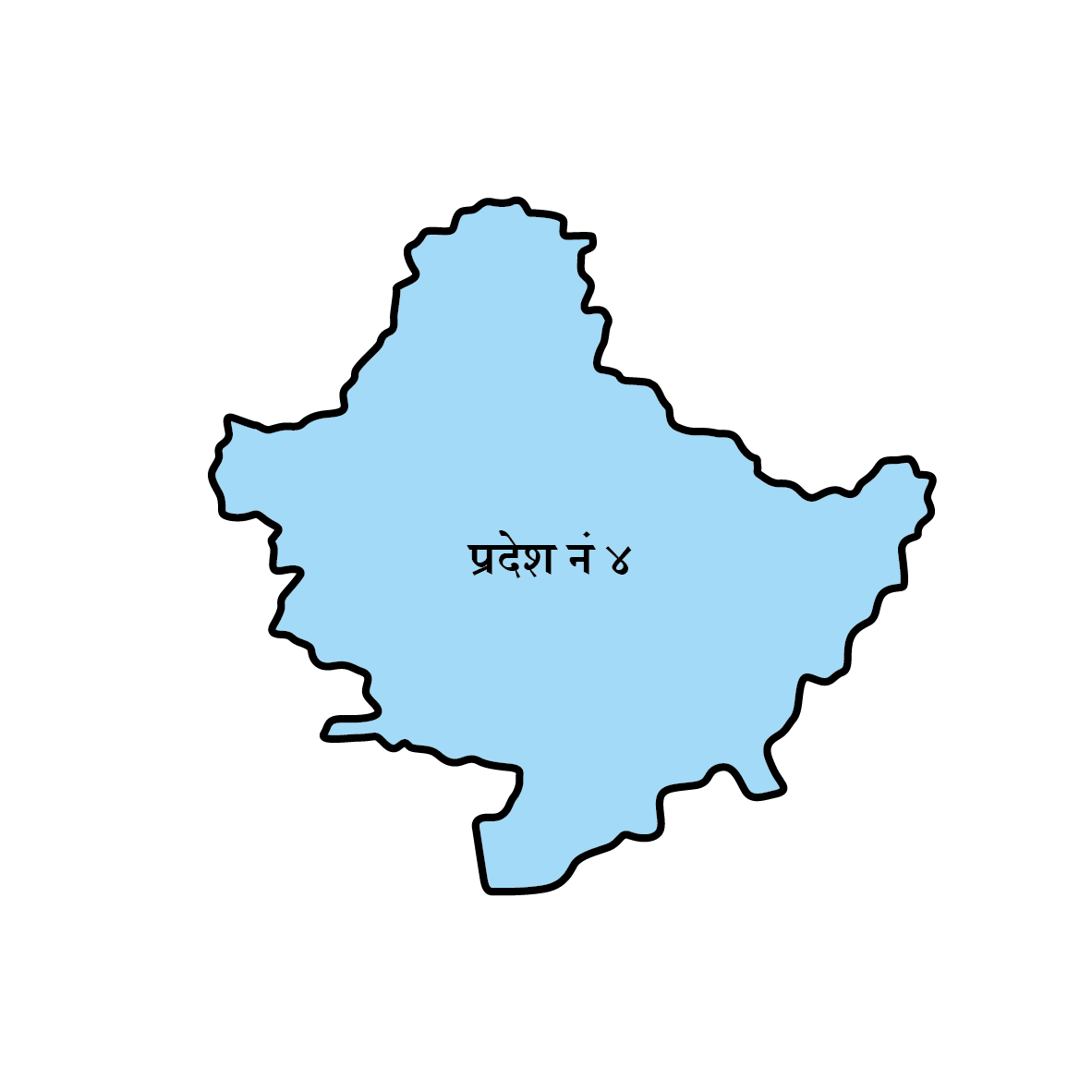 गण्डकी
 लुम्बिनी
 कर्णाली
  सुदूरपश्चिम


